
No products in the cart.: $0.00

On Sale!


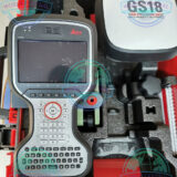
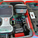
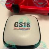
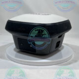
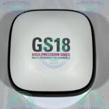
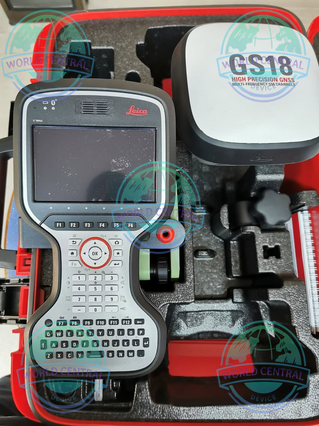
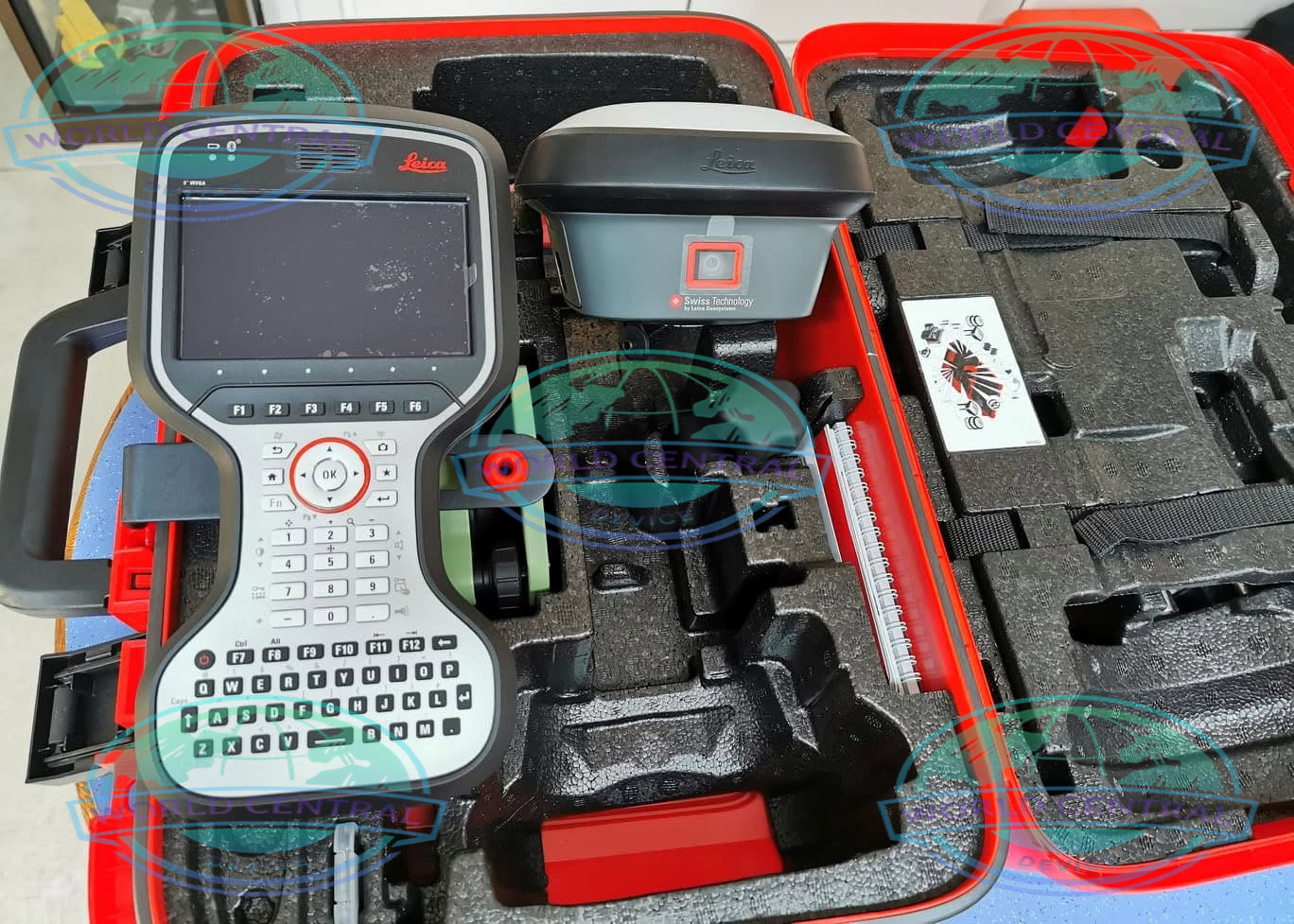
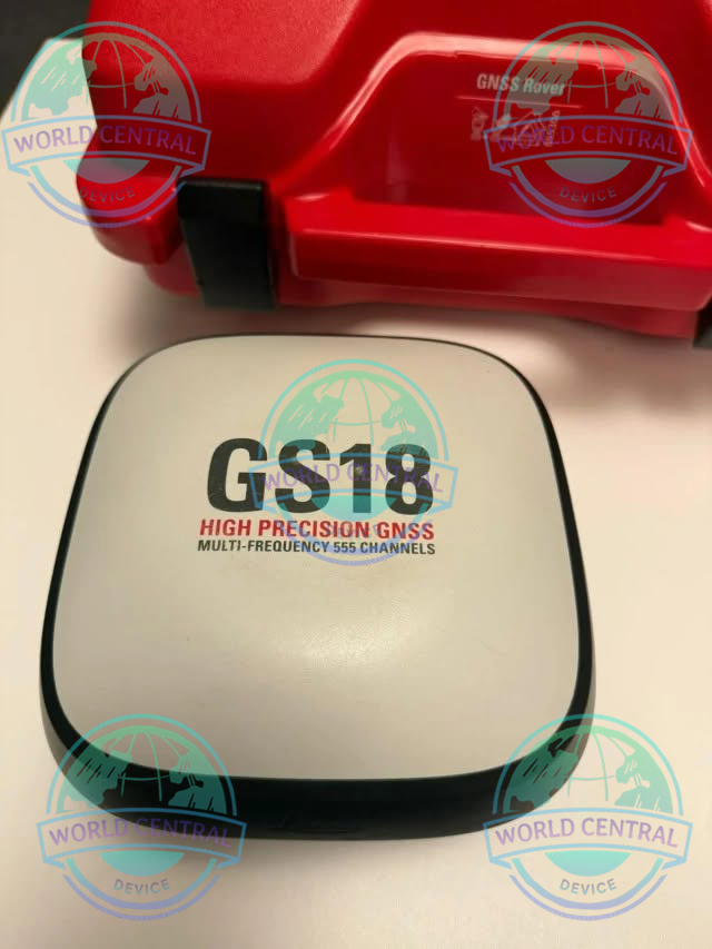
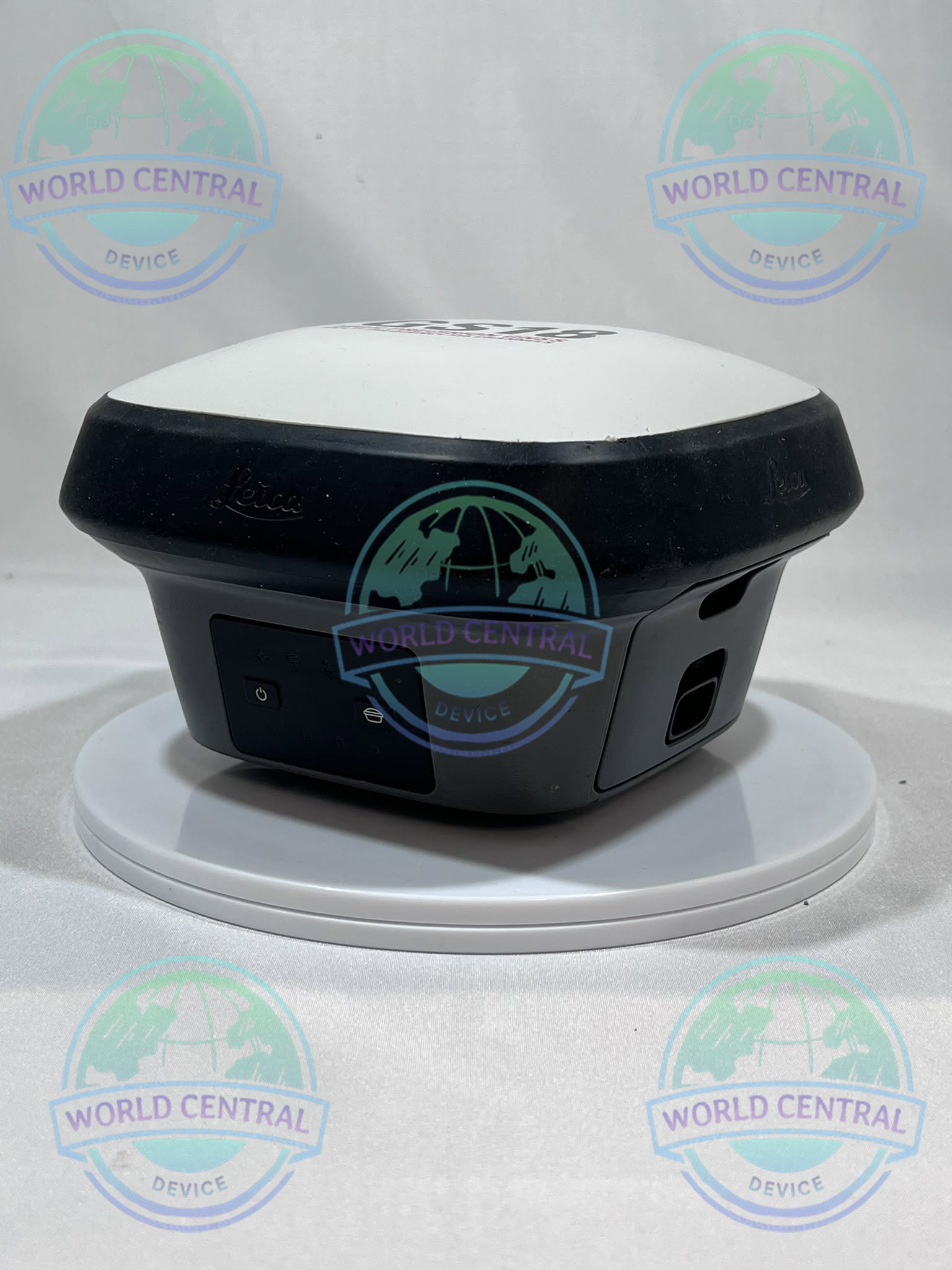
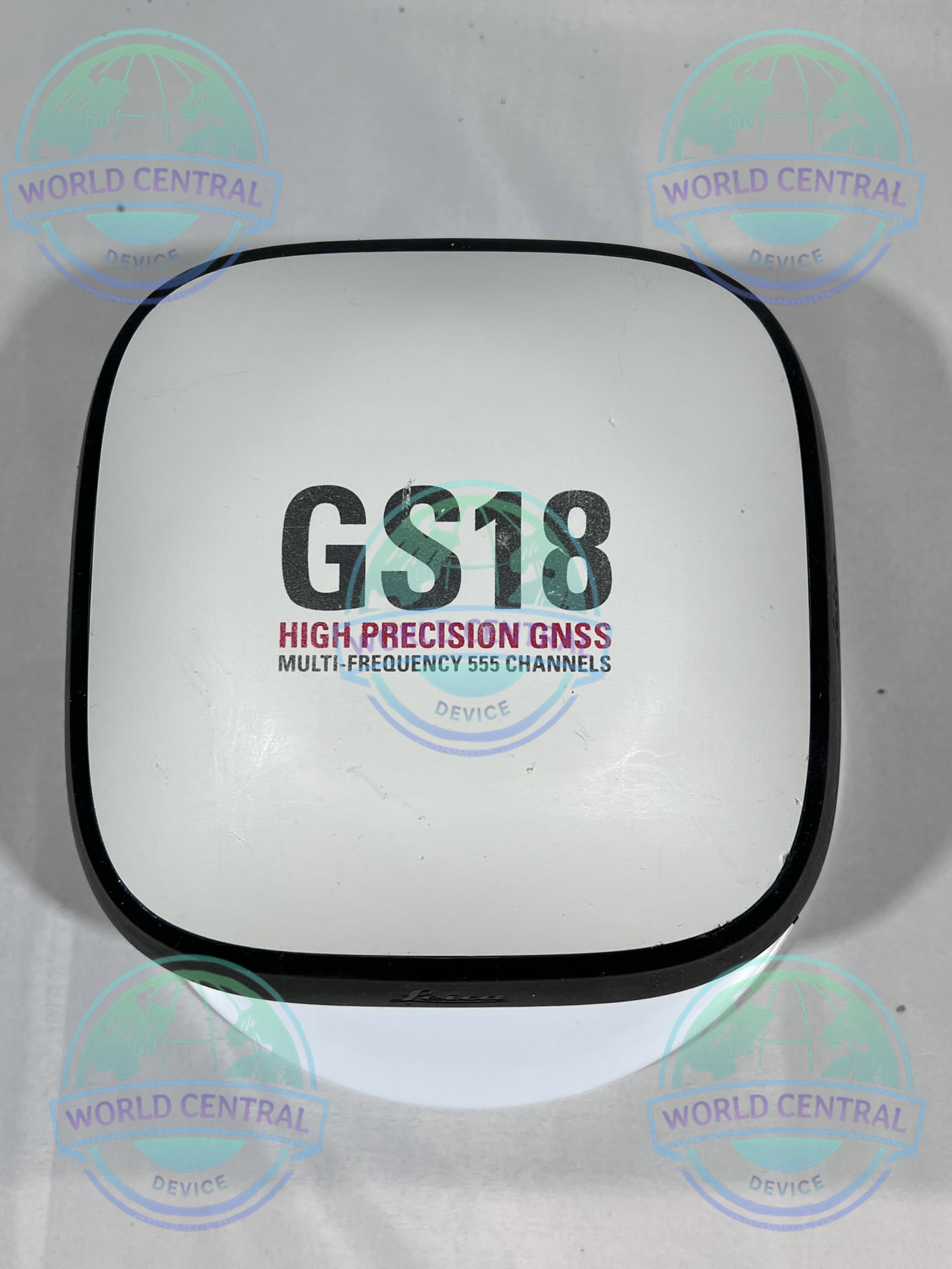
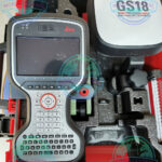
Leica GS18 T RTK Rover
The Leica GS18 T RTK Rover is an advanced GNSS receiver with calibration-free tilt compensation, multi-constellation tracking, and centimeter-level RTK accuracy for professional surveying and mapping applications.
Delivery and return
Delivery and return
Shipping Information
Shipping Information
Composition and care
Composition and care
Description
Leica GS18 T RTK Rover
The World’s First Tilt Compensation GNSS RTK Rover Without Calibration
The Leica GS18 T RTK Rover is a revolutionary GNSS surveying receiver designed to eliminate the need for pole leveling while maintaining survey-grade accuracy. Featuring true tilt compensation technology, advanced RTK positioning, inertial measurement technology, and seamless integration with Leica Captivate software, the GS18 T enables surveyors to measure points faster, safer, and more efficiently in challenging environments.
Built for modern surveying professionals, civil engineers, construction contractors, GIS specialists, and utility mapping teams, the GS18 T significantly improves field productivity by allowing measurements to be taken with a tilted pole while maintaining centimeter-level accuracy.
Why Choose Leica GS18 T RTK Rover?
Traditional GNSS surveys require the survey pole to remain perfectly vertical, often slowing field operations and limiting access to difficult locations. The Leica GS18 T changes this workflow entirely.
Key Advantages
- Calibration-free tilt compensation
- No need to level the survey pole
- Faster point collection
- Increased field productivity
- Enhanced safety around obstacles
- Survey-grade RTK accuracy
- Multi-constellation GNSS tracking
- Seamless integration with Leica Captivate and Leica Infinity
Key Features
Calibration-Free Tilt Compensation
Unlike conventional tilt-enabled GNSS receivers, the GS18 T uses advanced inertial measurement technology to maintain accurate positioning without calibration procedures.
Benefits
- Instant readiness
- No magnetic interference issues
- Improved reliability
- Reduced setup time
- Consistent accuracy
Advanced RTK GNSS Positioning
The GS18 T tracks multiple satellite constellations simultaneously.
Supported GNSS Systems
- GPS
- GLONASS
- Galileo
- BeiDou
- QZSS
- SBAS
Leica Captivate Integration
The receiver integrates directly with Leica Captivate software for efficient field data collection.
Features
- Real-time mapping
- Stakeout workflows
- Surface modeling
- Coordinate geometry (COGO)
- Data management
- Cloud synchronization
SmartLink Connectivity
Leica SmartLink enables continuous RTK positioning even during correction signal interruptions.
Advantages
- Reduced downtime
- Increased productivity
- Improved reliability
- Enhanced field efficiency
Applications
Land Surveying
- Boundary surveys
- Topographic surveys
- Control point establishment
- Geodetic measurements
Construction Layout
- Stakeout operations
- Site positioning
- Machine guidance support
- As-built documentation
Utility Mapping
- Underground utility surveys
- Asset management
- Infrastructure mapping
GIS Data Collection
- Spatial inventory
- Environmental monitoring
- Municipal mapping
Transportation Projects
- Highway surveys
- Railway alignment
- Airport development
Mining Operations
- Site control
- Pit mapping
- Volume calculations
General Specifications
| Specification | Details |
|---|---|
| Product Name | Leica GS18 T RTK Rover |
| Manufacturer | Leica Geosystems |
| Instrument Type | GNSS RTK Rover |
| GNSS Technology | Multi-Constellation RTK |
| Tilt Compensation | Calibration-Free |
| Positioning Method | RTK, Network RTK, Static, PPK |
| Field Software | Leica Captivate |
| Office Software | Leica Infinity |
| Internal Storage | Integrated Memory |
| Display Interface | Via Controller |
| Protection Rating | IP68 |
| Shock Resistance | Military Grade Field Use |
| Weight | Approx. 1.25 kg |
| Dimensions | Compact Survey Receiver Design |
GNSS Tracking Specifications
| GNSS Constellation | Supported |
|---|---|
| GPS | L1, L2, L2C, L5 |
| GLONASS | L1, L2, L3 |
| Galileo | E1, E5a, E5b, E5 AltBOC |
| BeiDou | B1, B2, B3 |
| QZSS | L1, L2, L5 |
| SBAS | WAAS, EGNOS, MSAS, GAGAN |
| IRNSS/NavIC | Supported |
GNSS Performance Specifications
| Parameter | Specification |
|---|---|
| Channels | 555+ |
| RTK Initialization | Instantaneous |
| Update Rate | Up to 20 Hz |
| Positioning Engine | Leica RTKplus |
| Network RTK | Supported |
| SmartLink | Supported |
| SmartCheck | Supported |
| SmartTrack | Supported |
Positioning Accuracy Specifications
Real-Time Kinematic (RTK)
| Measurement Type | Accuracy |
|---|---|
| Horizontal | 8 mm + 1 ppm |
| Vertical | 15 mm + 1 ppm |
Static Survey
| Measurement Type | Accuracy |
|---|---|
| Horizontal | 3 mm + 0.5 ppm |
| Vertical | 5 mm + 0.5 ppm |
Post Processed Kinematic (PPK)
| Measurement Type | Accuracy |
|---|---|
| Horizontal | 5 mm + 0.5 ppm |
| Vertical | 10 mm + 0.5 ppm |
Tilt Compensation Specifications
| Parameter | Specification |
|---|---|
| Technology | IMU-Based Tilt Compensation |
| Calibration Requirement | None |
| Magnetic Interference Sensitivity | None |
| Maximum Tilt Angle | Up to 30° |
| Tilt Accuracy | Survey Grade |
| Dynamic Compensation | Yes |
| Real-Time Tilt Correction | Yes |
Communication Specifications
| Feature | Details |
|---|---|
| Bluetooth | Integrated |
| WLAN | Integrated |
| USB | Supported |
| Cellular Connectivity | Optional |
| Radio Modem | Optional |
| NTRIP Support | Yes |
| Internet Corrections | Supported |
| SmartLink | Supported |
Environmental Specifications
| Parameter | Specification |
|---|---|
| Protection Rating | IP68 |
| Dust Protection | Complete |
| Water Protection | Waterproof |
| Operating Temperature | -40°C to +65°C |
| Storage Temperature | -40°C to +80°C |
| Humidity Resistance | 100% Condensing |
| Drop Resistance | 2 m Pole Drop |
Power Specifications
| Parameter | Specification |
|---|---|
| Battery Type | Lithium-Ion |
| Hot-Swap Capability | Supported |
| Battery Runtime | Up to 8 Hours |
| Charging Method | External Charger |
| External Power Input | Supported |
Controller Compatibility
| Controller | Compatibility |
|---|---|
| Leica CS20 | Full Support |
| Leica CS35 | Full Support |
| Leica CS30 | Supported |
| Leica Tablets | Supported |
| Android Devices | Supported |
| Windows Field Controllers | Supported |
Software Compatibility
| Software | Compatibility |
|---|---|
| Leica Captivate | Full Support |
| Leica Infinity | Full Support |
| AutoCAD | Supported |
| Civil 3D | Supported |
| ArcGIS | Supported |
| QGIS | Supported |
| BIM Platforms | Supported |
| GIS Platforms | Supported |

There are no reviews yet.