
No products in the cart.: $0.00

On Sale!
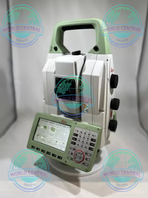
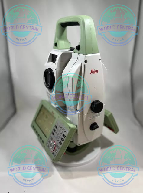
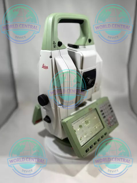
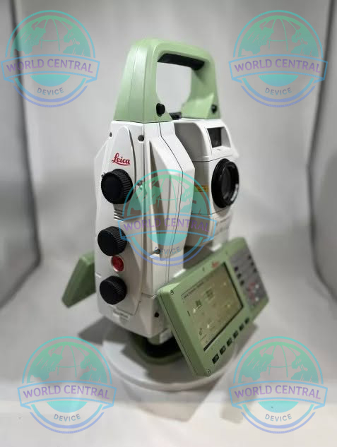
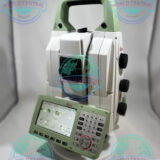
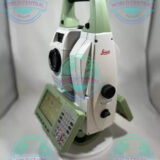
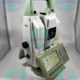
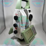
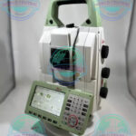
Leica MS60 3D MultiStation
The Leica MS60 3D MultiStation is an advanced surveying solution that integrates a robotic total station, 3D laser scanner, imaging system, and GNSS connectivity into a single platform for high-precision measurement and reality capture.
Delivery and return
Delivery and return
Shipping Information
Shipping Information
Composition and care
Composition and care
Description
Leica MS60 3D MultiStation
The Ultimate All-in-One Surveying and Geospatial Measurement Solution
Leica MS60 3D MultiStation is an advanced multi-sensor surveying instrument that combines a high-precision robotic total station, 3D laser scanner, GNSS integration, digital imaging system, and advanced automation technologies into a single platform. Designed for surveying professionals, engineering firms, infrastructure projects, construction monitoring, mining operations, and forensic investigations, the MS60 delivers unmatched flexibility, efficiency, and data accuracy in a wide range of geospatial applications.
The Leica MS60 enables users to collect precise points, detailed 3D scans, images, and geospatial information simultaneously, significantly reducing fieldwork time while improving project productivity.
Why Choose Leica MS60 3D MultiStation?
Modern surveying projects demand more than traditional total station capabilities. The Leica MS60 bridges the gap between conventional surveying and reality capture by providing:
- High-accuracy total station measurements
- Integrated 3D laser scanning
- Automatic target recognition
- Digital imaging and documentation
- Seamless GNSS connectivity
- Real-time data visualization
- BIM and digital twin compatibility
- Monitoring and deformation analysis capabilities
Key Features
Integrated 3D Laser Scanning
The MS60 performs high-speed laser scanning while maintaining survey-grade accuracy.
Benefits
- Capture millions of points rapidly
- Generate detailed point clouds
- Survey inaccessible areas safely
- Reduce field revisits
- Improve as-built documentation
Robotic Total Station Functionality
The instrument functions as a fully automated robotic total station.
Features
- Automatic target tracking
- AutoTarget Recognition (ATRplus)
- Dynamic Lock
- PowerSearch technology
- One-person operation
High-Resolution Imaging
The integrated camera system enables visual documentation alongside measurement data.
Advantages
- Real-world visual context
- Photo-based verification
- Remote target identification
- Improved project reporting
Advanced Monitoring Capabilities
Ideal for long-term structural monitoring projects.
Applications
- Bridges
- Dams
- Tunnels
- High-rise buildings
- Railways
- Mining sites
Leica Captivate Software
Leica Captivate transforms complex survey data into intuitive 3D visualizations.
Key Benefits
- 3D data visualization
- Easy project management
- CAD integration
- Real-time field processing
- User-friendly touchscreen interface
Applications
Land Surveying
- Boundary surveys
- Topographic surveys
- Control networks
- Geodetic measurements
Construction
- Site layout
- Machine control support
- Progress tracking
- As-built surveys
Infrastructure
- Road construction
- Railway alignment
- Airport development
- Utility mapping
Mining
- Stockpile volume calculations
- Open-pit mapping
- Slope monitoring
- Tunnel measurements
Building Information Modeling (BIM)
- Existing conditions capture
- Scan-to-BIM workflows
- Facility management
- Digital twin generation
Forensics
- Accident reconstruction
- Crime scene documentation
- Evidence preservation
General Specifications
| Specification | Details |
|---|---|
| Product Name | Leica MS60 3D MultiStation |
| Instrument Type | Robotic Total Station + 3D Laser Scanner |
| Manufacturer | Leica Geosystems |
| Series | Leica Nova MS60 |
| Operating System | Leica Captivate |
| Display | High-Resolution Color Touchscreen |
| Keyboard | Full Alphanumeric Keyboard |
| Imaging System | Integrated Digital Cameras |
| Communication | Bluetooth, WLAN, USB |
| Data Storage | Internal Memory + USB Support |
| Waterproof Rating | IP65 |
| Dust Protection | IP65 |
| Operating Temperature | -20°C to +50°C |
| Storage Temperature | -40°C to +70°C |
Angular Measurement Specifications
| Parameter | Specification |
|---|---|
| Angle Accuracy Options | 0.5″, 1″, 2″, 3″, 5″ |
| Angle Measurement System | Absolute, Continuous |
| Minimum Reading | 0.1″ |
| Compensator Type | Quad-Axis |
| Compensator Range | ±4′ |
Distance Measurement Specifications
Prism Mode
| Parameter | Specification |
|---|---|
| Measurement Range | Up to 10,000 m |
| Accuracy | 1 mm + 1.5 ppm |
| Measurement Time | Typical 0.8 sec |
Reflectorless Mode
| Parameter | Specification |
|---|---|
| Range | Up to 2,000 m |
| Accuracy | 2 mm + 2 ppm |
| Laser Type | PinPoint EDM |
| Measurement Time | Typical 2 sec |
Robotic Surveying Specifications
| Parameter | Specification |
|---|---|
| ATR Range | Up to 3,500 m |
| Lock Range | Up to 800 m |
| PowerSearch Range | Up to 300 m |
| Automatic Target Recognition | Yes |
| Dynamic Lock | Yes |
| One-Person Operation | Yes |
Laser Scanning Specifications
| Parameter | Specification |
|---|---|
| Scan Speed | Up to 30,000 points/sec |
| Scanning Range | Up to 300 m |
| Point Accuracy | Survey Grade |
| Laser Class | Class 1 |
| Scan Density Control | Adjustable |
| Point Cloud Generation | Yes |
| Integrated Survey & Scan Workflow | Yes |
Imaging Specifications
| Parameter | Specification |
|---|---|
| Overview Camera | Integrated |
| Telescope Camera | Integrated |
| Image Capture | Yes |
| Video Streaming | Yes |
| Remote Observation | Yes |
| Visual Documentation | Yes |
Connectivity Specifications
| Parameter | Specification |
|---|---|
| Bluetooth | Integrated |
| WLAN | Integrated |
| USB Port | Yes |
| RS232 | Available |
| Leica CS Controllers Support | Yes |
| GNSS Integration | Yes |
| Cloud Connectivity | Leica Exchange Compatible |
Power Specifications
| Parameter | Specification |
|---|---|
| Battery Type | Lithium-Ion |
| Battery Model | Leica GEB Series |
| Operating Time | Up to 8 Hours |
| Hot-Swap Capability | Supported |
| External Power Support | Yes |
Software Compatibility
| Software | Compatibility |
|---|---|
| Leica Captivate | Full Support |
| Leica Infinity | Full Support |
| AutoCAD | Supported |
| Civil 3D | Supported |
| MicroStation | Supported |
| Revit | Supported |
| BIM Platforms | Supported |
| GIS Platforms | Supported |

There are no reviews yet.