
No products in the cart.: $0.00

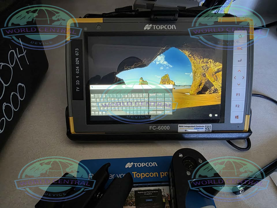
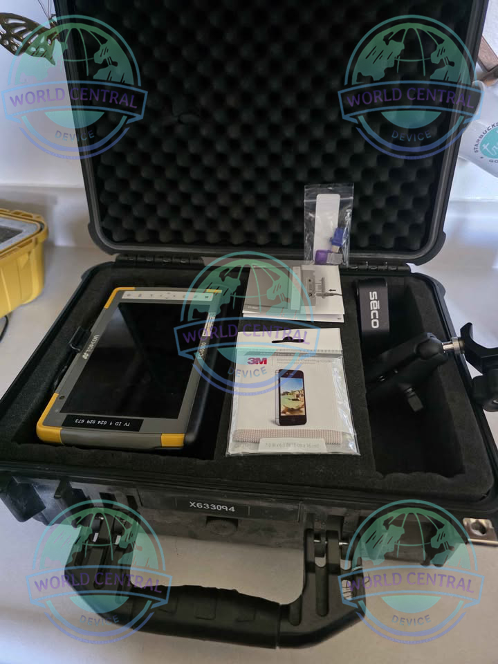
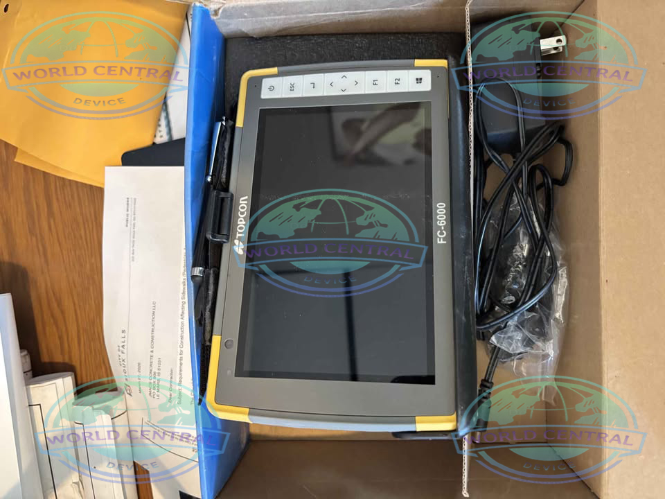
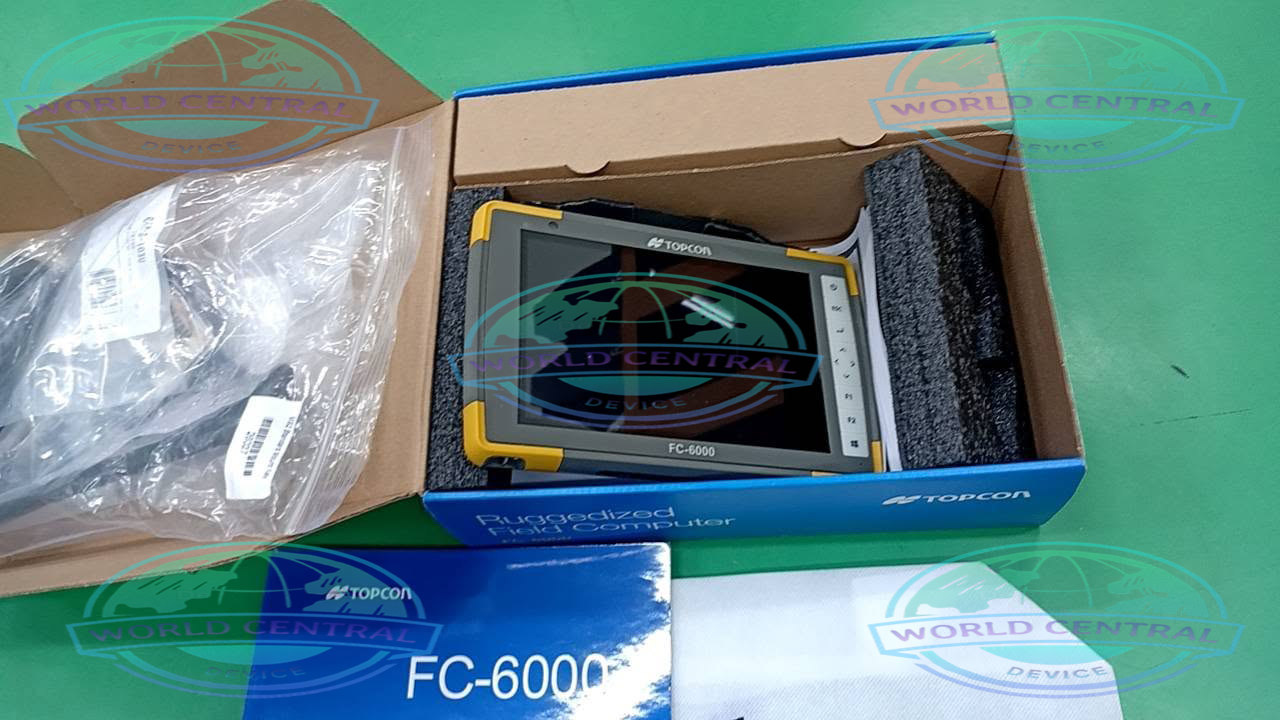
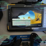
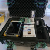
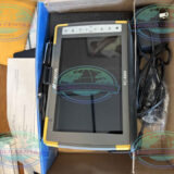
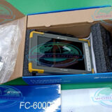
Topcon FC-6000 Rugged Data Collector
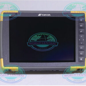
The Topcon FC-6000 Rugged Data Collector is a professional-grade Windows® 10 Pro field controller designed for surveying, construction, GIS, and mapping professionals
Delivery and return
Delivery and return
Shipping Information
Shipping Information
Composition and care
Composition and care
Description
Topcon FC-6000 Rugged Data Collector
Professional Rugged Field Controller for Surveying, GIS, Construction, and Mapping Applications
The Topcon FC-6000 Rugged Data Collector is a high-performance handheld field controller engineered for surveyors, geospatial professionals, engineers, and construction teams who require reliable data collection in the most demanding environments. Built on the Windows® 10 Pro platform, the FC-6000 combines a powerful Intel® processor, rugged MIL-STD durability, advanced wireless communication, and a sunlight-readable touchscreen to maximize field productivity.
Designed for seamless integration with GNSS receivers, robotic total stations, laser scanners, and GIS software, the FC-6000 enables accurate data collection, stakeout, mapping, and construction layout while maintaining exceptional performance under harsh weather and jobsite conditions.
Why Choose the Topcon FC-6000?
Modern surveying projects require reliable computing power, rugged durability, and flexible connectivity. The FC-6000 delivers all three, making it one of the most capable field controllers available for professional surveying and construction workflows.
Key Features
- Windows 10 Pro operating system
- Intel® Pentium® processor
- 7-inch sunlight-readable touchscreen
- MIL-STD-810G certified
- IP68 waterproof and dustproof protection
- Gorilla Glass display
- Dual hot-swappable batteries
- Long operating time
- Integrated GPS
- High-speed Wi-Fi and Bluetooth
- Optional 4G LTE cellular connectivity
- USB Type-C and USB 3.0 interfaces
- High-performance SSD storage
- Compatible with MAGNET Field software
- Supports robotic total stations and GNSS receivers
Built for Professional Surveying
The FC-6000 provides survey professionals with a rugged mobile computing platform capable of handling complex field operations without compromising speed or accuracy.
Ideal Applications
- Land Surveying
- Construction Layout
- GNSS Surveying
- GIS Data Collection
- Utility Mapping
- Infrastructure Inspection
- Road Construction
- Mining Survey
- Oil & Gas Survey
- Environmental Monitoring
- Utility Asset Management
- Engineering Projects
Rugged Design for Extreme Field Conditions
The FC-6000 is engineered to withstand challenging outdoor environments where ordinary tablets and handheld devices fail.
Rugged Protection Includes
- IP68 environmental sealing
- Waterproof construction
- Dustproof housing
- Shock resistance
- Vibration resistance
- Drop resistance
- Extreme temperature operation
- Gorilla Glass protection
High-Performance Computing
Powered by an Intel Pentium quad-core processor and Windows 10 Pro, the FC-6000 handles demanding surveying software smoothly.
Benefits
- Faster project loading
- Improved map rendering
- Efficient CAD visualization
- Faster GNSS communication
- Stable robotic total station control
- Improved multitasking
Brilliant Sunlight-Readable Display
The 7-inch capacitive touchscreen delivers outstanding visibility in outdoor environments.
Display Advantages
- High brightness
- Multi-touch capability
- Glove operation
- Wet-touch functionality
- Scratch-resistant Gorilla Glass
- Excellent outdoor readability
Advanced Wireless Connectivity
Reliable communication is essential for modern surveying workflows.
Wireless Features
- Wi-Fi
- Bluetooth
- Optional 4G LTE
- Integrated GPS
- USB Type-C
- USB 3.0
- SD Card Expansion
Long Battery Life
Dual hot-swappable lithium-ion batteries provide uninterrupted operation throughout extended field sessions.
Battery Benefits
- Continuous surveying
- Battery replacement without shutdown
- Reduced downtime
- Improved productivity
Compatible Survey Equipment
The Topcon FC-6000 works seamlessly with:
GNSS Receivers
- HiPer VR
- HiPer HR
- HiPer SR
- HiPer V
- HiPer II
Total Stations
- Topcon Robotic Total Stations
- Topcon Manual Total Stations
Laser Scanners
- Topcon Laser Scanning Systems
Machine Control Systems
- Construction positioning equipment
- Grade control systems
Compatible Software
The FC-6000 supports numerous professional field applications.
Supported Software
- MAGNET Field
- MAGNET Enterprise
- Pocket 3D
- Topcon Survey Applications
- GIS Software
- CAD Field Applications
- Third-party Windows Survey Software
Industries Served
- Land Surveying
- Civil Engineering
- Construction
- Mining
- Utilities
- Oil & Gas
- Transportation
- Railways
- Agriculture
- Environmental Surveying
- Infrastructure Development
- Government Mapping
Technical Specifications
| Specification | Details |
|---|---|
| Product Name | Topcon FC-6000 Rugged Data Collector |
| Product Type | Rugged Field Controller / Data Collector |
| Operating System | Windows® 10 Pro (64-bit) |
| Processor | Intel® Pentium® N4200 Quad-Core, up to 2.5 GHz |
| Graphics | Intel HD Graphics 505 |
| RAM | 8 GB LPDDR4 |
| Internal Storage | 128 GB SSD (expandable via microSDXC) |
| Display Size | 7 inches |
| Display Type | Capacitive Multi-Touch LCD |
| Resolution | 1280 × 800 pixels (WXGA) |
| Brightness | Approx. 500–800 nits (sunlight-readable) |
| Display Protection | Corning Gorilla Glass |
| Touch Modes | Finger, Glove, Wet Touch |
| Keyboard | Integrated Alphanumeric Backlit Keyboard |
| Camera (Rear) | 13 MP Autofocus with LED Flash |
| Camera (Front) | 2 MP |
| GNSS | Integrated GPS / GLONASS |
| Wireless LAN | IEEE 802.11 a/b/g/n/ac Dual Band |
| Bluetooth | Bluetooth 4.1 BLE |
| Cellular | Optional 4G LTE |
| NFC | Optional |
| USB Ports | USB Type-C, USB 3.0 |
| Expansion Slot | microSDXC |
| Audio | Speaker & Microphone |
| Battery Type | Dual Hot-Swappable Lithium-Ion |
| Battery Capacity | Approx. 3,100 mAh each |
| Battery Runtime | Up to 15–20 Hours (Typical) |
| Charging | External Charger / USB Charging |
| Waterproof Rating | IP68 |
| Dust Protection | IP68 |
| Military Standard | MIL-STD-810G |
| Drop Resistance | Up to 1.2 m onto concrete |
| Operating Temperature | -20°C to +50°C |
| Storage Temperature | -30°C to +60°C |
| Humidity | Up to 95% Non-Condensing |
| Dimensions | Approx. 234 × 146 × 35 mm |
| Weight | Approx. 1.0 kg (including batteries) |
| Navigation Sensors | Accelerometer, Electronic Compass, Gyroscope |
| LED Indicators | Battery, Charging, Communication |
| Security | TPM, Windows Security Features |
| Compatible Instruments | GNSS Receivers, Total Stations, Laser Scanners |
| Software Compatibility | MAGNET Field, Pocket 3D, Windows Survey Software |
| Data Communication | USB, Bluetooth, Wi-Fi, LTE |

There are no reviews yet.