
No products in the cart.: $0.00

On Sale!


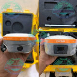
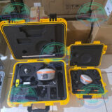
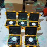
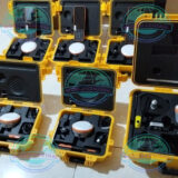
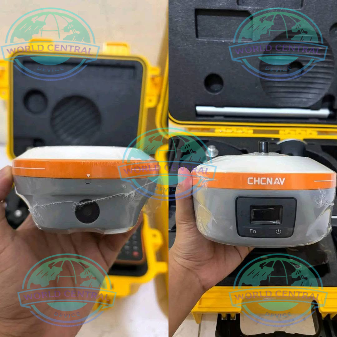
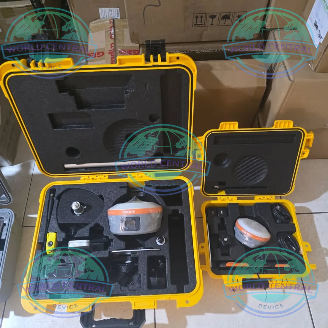
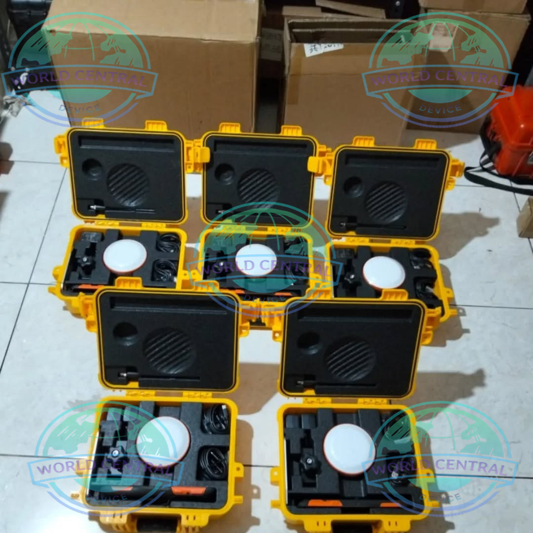
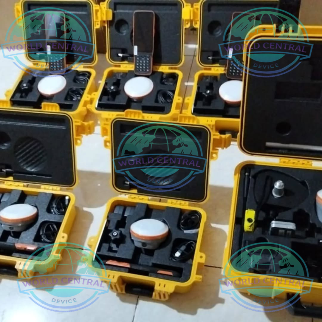
CHCNAV i76 RTK GNSS Receiver
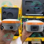
The CHCNAV i76 RTK GNSS Receiver is an advanced visual RTK rover designed for fast and accurate surveying. Equipped with dual cameras, AR stakeout, IMU tilt compensation, and full GNSS constellation tracking, it enables centimeter-level positioning for land surveying, construction, GIS mapping, and engineering applications.
Delivery and return
Delivery and return
Shipping Information
Shipping Information
Composition and care
Composition and care
Description
CHCNAV i76 RTK GNSS Receiver
The CHCNAV i76 RTK GNSS Receiver is a compact, lightweight, and highly advanced GNSS rover engineered for professional land surveying, construction layout, GIS data collection, topographic mapping, utility surveys, and engineering applications. Equipped with Visual Stakeout Technology, AR-assisted surveying, IMU tilt compensation, and support for multiple satellite constellations, the i76 significantly enhances field productivity while simplifying complex surveying workflows.
Designed to deliver centimeter-level positioning accuracy even in challenging environments, the CHCNAV i76 combines innovative visual navigation capabilities with powerful GNSS tracking performance, making it an ideal solution for surveyors seeking speed, accuracy, and reliability.
Why Choose the CHCNAV i76 RTK GNSS Receiver?
Enhanced Surveying Efficiency
The CHCNAV i76 introduces advanced visual technologies that allow surveyors to perform stakeout and measurement tasks more efficiently than traditional GNSS receivers.
Key Benefits
- Visual stakeout guidance
- AR-assisted point navigation
- High-precision RTK positioning
- IMU tilt compensation
- Lightweight and ergonomic design
- Fast satellite acquisition
- Long battery life
- Rugged field-ready construction
Visual Positioning Technology
Revolutionary Visual Surveying Experience
The i76 integrates high-definition cameras and visual positioning algorithms that improve field productivity and reduce measurement errors.
Features Include
- Real-time visual navigation
- Augmented reality stakeout
- Image-assisted point collection
- Visual verification of surveyed points
- Improved stakeout accuracy in crowded sites
Advanced GNSS Tracking
Full Multi-Constellation Support
The CHCNAV i76 simultaneously tracks multiple satellite systems for superior performance in difficult environments.
Supported Satellite Constellations
GPS
- L1C/A
- L1C
- L2P(Y)
- L2C
- L5
GLONASS
- L1
- L2
- L3
Galileo
- E1
- E5a
- E5b
- E6
- AltBOC
BeiDou
- B1I
- B1C
- B2I
- B2a
- B2b
- B3I
QZSS
- L1
- L2
- L5
- L6
NavIC (IRNSS)
- L5
SBAS
- WAAS
- EGNOS
- MSAS
- GAGAN
- SDCM
IMU Tilt Compensation
Measure Without Leveling the Pole
The integrated inertial measurement unit (IMU) allows accurate surveying even when the pole is tilted.
Advantages
- No calibration required
- Tilt compensation up to 60°
- Faster point collection
- Increased field productivity
- Improved safety in difficult terrain
Visual Stakeout Technology
Faster and More Intuitive Stakeout
The i76 uses augmented reality to guide users directly to target points.
Benefits
- Reduced stakeout time
- Easy point identification
- Improved operator efficiency
- Better performance in urban environments
Technical Specifications
| Category | Specification |
|---|---|
| Product Name | CHCNAV i76 RTK GNSS Receiver |
| Receiver Type | Visual RTK GNSS Rover |
| GNSS Channels | 1408 Channels |
| Positioning Technology | RTK, PPK, Static, Network RTK |
| Satellite Tracking | GPS, GLONASS, Galileo, BeiDou, QZSS, NavIC, SBAS |
| GPS Signals | L1C/A, L1C, L2P(Y), L2C, L5 |
| GLONASS Signals | L1, L2, L3 |
| Galileo Signals | E1, E5a, E5b, E6, AltBOC |
| BeiDou Signals | B1I, B1C, B2I, B2a, B2b, B3I |
| QZSS Signals | L1, L2, L5, L6 |
| NavIC Signals | L5 |
| SBAS Support | WAAS, EGNOS, MSAS, GAGAN, SDCM |
| RTK Initialization Time | Typically < 10 Seconds |
| RTK Reliability | >99.9% |
| Horizontal RTK Accuracy | 8 mm + 1 ppm |
| Vertical RTK Accuracy | 15 mm + 1 ppm |
| Static Horizontal Accuracy | 2.5 mm + 0.5 ppm |
| Static Vertical Accuracy | 5 mm + 0.5 ppm |
| DGPS Accuracy | 0.25 m + 1 ppm |
| Single Point Accuracy | 1.5 m CEP |
| IMU Tilt Compensation | Supported |
| Maximum Tilt Angle | Up to 60° |
| IMU Calibration | Calibration-Free |
| Visual Stakeout | Supported |
| AR Stakeout | Supported |
| Visual Surveying | Supported |
| Integrated Cameras | Dual HD Cameras |
| Front Camera | Visual Navigation Camera |
| Bottom Camera | Survey Measurement Camera |
| Image Capture | Supported |
| Video Assistance | Supported |
| Processor | High-Speed Embedded Processor |
| Internal Storage | 8 GB |
| Data Logging | Static, RTK, PPK |
| Communication | UHF, Wi-Fi, Bluetooth, 4G LTE |
| Bluetooth Version | Bluetooth 5.0 |
| Wi-Fi | 802.11 b/g/n |
| Cellular Network | 4G LTE |
| SIM Card Slot | Nano SIM |
| Radio Modem | Integrated TX/RX |
| Radio Frequency Range | 410–470 MHz |
| Radio Protocols | Transparent, TT450S Compatible |

There are no reviews yet.